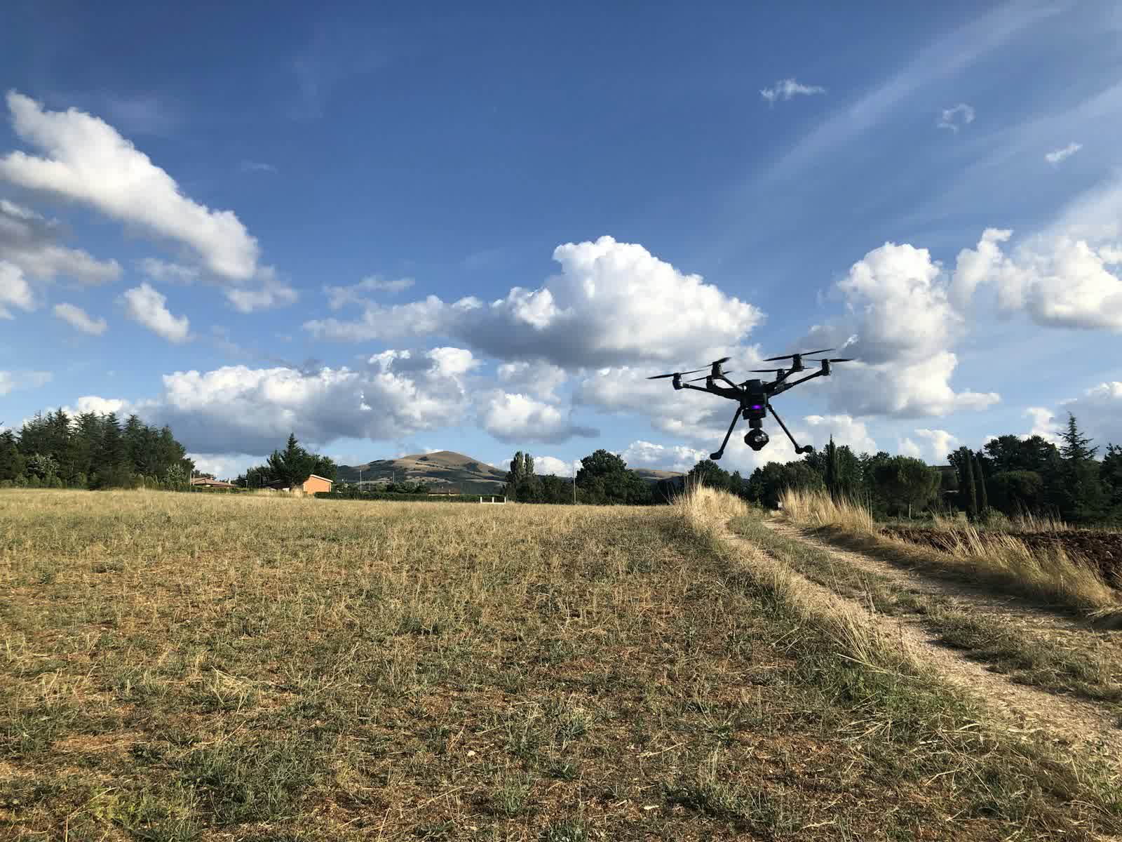
🌾 PRECISION AGRICULTURE · LA SEYNE-SUR-MER (83) · €8–30 PER HECTARE
Drone precision agriculture in La Seyne-sur-Mer
Agricultural drones give farmers a plot-by-plot view that neither satellites (resolution and cloud cover) nor field walks can match: multispectral NDVI/NDRE crop-vigour mapping, early detection of water stress or disease outbreaks, plant counting after emergence, variable-rate nitrogen application maps directly usable by the tractor console. A 50-hectare plot is mapped in under an hour of flight.
We work on arable crops, vineyards, orchards and grassland, alone or in partnership with your agronomist — raw data is only worth the interpretation and recommendations built on it. Recurring campaigns (3 to 5 passes per season) track crop dynamics and objectively measure the effect of interventions. Drone spraying itself remains tightly restricted in France; we focus on observation, diagnosis and data.
Free quote — precision agriculture in La Seyne-sur-Mer
Rates
€8–30 per hectare — the range observed on the 2026 French market, including regulatory preparation, flight and delivery. The exact quote depends on the site, the deliverable and the airspace context in La Seyne-sur-Mer.
Common use cases
- NDVI vigour maps for variable-rate nitrogen application
- Early detection of disease or water stress in vineyards
- Plant counting and density estimation after sowing
- Game or hail damage assessment for compensation claims
- Field drainage and wet-zone mapping
- Monitoring of agronomic trials and micro-plots
The local context in La Seyne-sur-Mer
The Var's second city, La Seyne-sur-Mer borders Toulon harbour, home of the French Navy: the naval base and the harbour waters are covered by permanent no-fly zones, and any mission in the sector must be prepared with the Géoportail drone map and, often, coordination with military authorities. The Toulon-Hyères airport CTR completes the picture to the east.
Fine subjects remain to the west and south: the Tamaris corniche beloved of George Sand, Fort Balaguier, the Sablettes beaches rebuilt by Fernand Pouillon, and the Parc de la Navale, a memorial to the shipyards that built the town. The local economy — ship repair, boating, seaside tourism, urban regeneration of industrial brownfields — drives demand for construction monitoring, real estate and tourism promotion.
Applicable regulations
Agricultural flights take place in open rural areas, the ideal setting for open-category sub-category A3: far from people and more than 150 m from residential areas, below 120 m, with the operator registered on AlphaTango. Beware however of regulated zones invisible to the naked eye: the military very-low-altitude network (RTBA), air-ambulance helicopter corridors, protected natural areas (some bird-protection zones and reserves prohibit low flight to protect birdlife) — the Géoportail drone map is authoritative. Drone spraying of plant-protection products benefits, since French law 2025-365 of 23 April 2025 and its spring 2026 implementing texts, from a permanent derogation: plots with slopes of 20% or more, banana plantations and grapevine mother stock, only with biocontrol, organic-approved or low-risk products; spraying falls under a specific framework distinct from simple observation.
Frequently asked questions
How do drone images differ from free satellite imagery?
Resolution (3 to 10 cm/pixel versus 10 m for Sentinel-2), availability (drones fly below clouds, on the exact date needed) and sensors (calibrated multispectral with red-edge bands). For in-field variable-rate management, drones are unmatched.
Are the application maps compatible with my equipment?
Yes: we export to ISOXML and shapefile formats read by John Deere, Trimble, Raven and Kuhn consoles and most ISOBUS terminals, as well as to common agronomy platforms.
Can the drone spray my fields?
Yes, within a precise derogation framework since law 2025-365 and its spring 2026 implementing texts: plots with slopes of at least 20%, banana plantations and grapevine mother stock, only with biocontrol, organic-approved or low-risk products. Outside that framework, aerial spraying remains prohibited; we then provide the maps that optimise your conventional sprayer passes.
Can this service be flown anywhere in La Seyne-sur-Mer?
Almost: Zone interdite permanente de la rade de Toulon (base navale); CTR de Toulon-Hyères; Emprises militaires du littoral seynois. Depending on the exact location, the pilot picks the right framework (open or specific category) and files the required declarations — included in the quote.
Other drone services in La Seyne-sur-Mer
- Aerial photography in La Seyne-sur-Mer from €300
- Aerial video in La Seyne-sur-Mer from €500
- Real estate drone services in La Seyne-sur-Mer from €250
- Weddings & events in La Seyne-sur-Mer from €400
- Roof inspection in La Seyne-sur-Mer from €200
- Facade inspection in La Seyne-sur-Mer from €300
- Aerial thermal imaging in La Seyne-sur-Mer from €500
- Construction site monitoring in La Seyne-sur-Mer from €250
- Surveying & photogrammetry in La Seyne-sur-Mer from €800
- Security & surveillance in La Seyne-sur-Mer from €600
- Immersive FPV video in La Seyne-sur-Mer from €700
- High-access cleaning in La Seyne-sur-Mer from €500
- Drone pilot training in La Seyne-sur-Mer from €350
- All services in La Seyne-sur-Mer
Precision agriculture near La Seyne-sur-Mer
- Precision agriculture in Marseille Provence-Alpes-Côte d'Azur
- Precision agriculture in Nice Provence-Alpes-Côte d'Azur
- Precision agriculture in Toulon Provence-Alpes-Côte d'Azur
- Precision agriculture in Aix-en-Provence Provence-Alpes-Côte d'Azur
- Precision agriculture in Avignon Provence-Alpes-Côte d'Azur
- Precision agriculture in Cannes Provence-Alpes-Côte d'Azur
Precision agriculture: every city →