C-DRONE GUIDE · 4 JUNE 2026
Drone photogrammetry software: 2026 comparison (free and paid)
Turning a few hundred aerial photos into a georeferenced orthophoto, a 3D model or a stockpile volume calculation: that is the job of photogrammetry software, and the choice has become overwhelming. Between free open-source solutions and professional suites costing thousands of euros, here is the 2026 comparison to choose according to your actual use — and avoid paying for a licence you will only use 10% of.
What photogrammetry software actually does
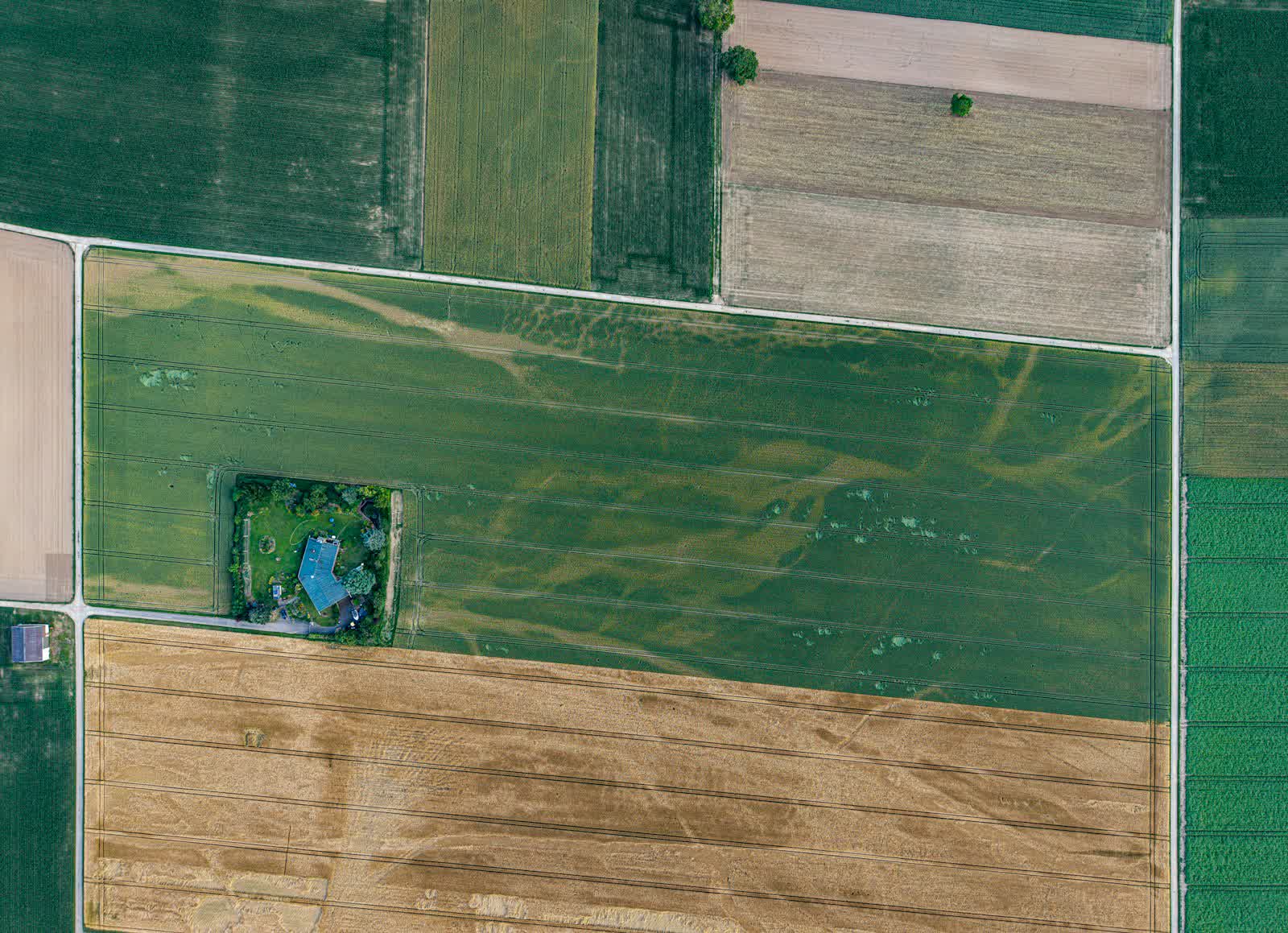
Every product on the market applies the same processing chain, known as SfM (Structure from Motion). Step one: detect thousands of matching feature points between overlapping photos (the famous 70-80% overlap required of the flight plan) and deduce the exact position of each shot. Step two: densify that skeleton into a cloud of several million 3D points. Step three: produce the deliverables — an orthophoto (a rectified, georeferenced "photo-map", measurable like a plan), a digital surface or terrain model, a textured 3D mesh, contour lines, volume calculations.
What differentiates the products is therefore not the principle but the execution: algorithm robustness on difficult surfaces (vegetation, water, glazed façades), georeferencing accuracy with ground control points (GCPs) or RTK/PPK data, processing speed, export formats (GeoTIFF, LAS/LAZ, DXF, IFC for BIM) and, increasingly, local versus cloud processing. Those criteria, weighed against your actual deliverables, are what to compare — not the length of the sales brochure.
The free options: WebODM, Meshroom, MicMac
WebODM (the web interface of OpenDroneMap, open source) has become the free reference: orthophotos, elevation models, point clouds and volume measurements, with an approachable interface and an active community. You can self-install it for free (Docker) or buy the official installer for a few tens of euros. For a farmer, a tradesperson or a pilot starting out, it covers 80% of everyday needs — at the cost of longer processing times and georeferencing that demands rigour.
Meshroom (AliceVision) excels at meshed 3D reconstruction — heritage, objects, buildings — but does not natively produce georeferenced mapping deliverables; it also requires a CUDA-compatible NVIDIA graphics card. MicMac, developed by the French IGN, is probably the most accurate free tool of the lot, used in research and demanding survey work; its austere command-line interface reserves it for motivated users. The sensible 2026 strategy: start with WebODM, confirm that photogrammetry has a real place in your business, and only go paid when you hit a concrete limit (accuracy, speed, support, export format).
The pro suites: Metashape, Pix4D, DJI Terra, DroneDeploy
Agisoft Metashape offers the market's best accuracy-to-price ratio: the perpetual Standard licence costs about €170 (enough for 3D and simple orthomosaics) and the Professional edition, essential for GCPs, georeferenced exports and measurements, around €3,300 — also perpetual, which makes it cheaper than subscriptions from year two. Pix4D remains the most complete suite (Pix4Dmapper for mapping, Pix4Dmatic for large sites, agriculture and inspection modules), sold by subscription at roughly €200 to €350 per month depending on modules: powerful, but best reserved for teams producing every week.
DJI Terra (permanent licence around €1,400 to €3,000 depending on edition) is the logical choice for DJI Enterprise drone owners: seamless integration of programmed flights and RTK data, fast processing, but a closed ecosystem. DroneDeploy, finally, embodies the all-cloud SaaS approach (from about €300 per month): flight planning, processing and sharing in the browser — ideal for distributed construction teams, less relevant for a freelancer watching fixed costs.
The 2026 comparison table
A summary of the market's solutions, with indicative public prices observed in early 2026 (excluding promotions and education licences):
| Software | Licence model | Indicative price | Who it is for |
|---|---|---|---|
| WebODM / OpenDroneMap | Open source | Free (installer ~€60) | Getting started, everyday uses, zero budget |
| Meshroom | Open source | Free | Heritage and object 3D, no mapping |
| MicMac (IGN) | Open source | Free | Demanding survey work, advanced users |
| Agisoft Metashape Standard | Perpetual | ~€170 | 3D and orthomosaics without fine georeferencing |
| Agisoft Metashape Professional | Perpetual | ~€3,300 | Surveyors, engineering firms, GCP accuracy |
| DJI Terra | Permanent | €1,400 – €3,000 | DJI Enterprise fleets, integrated chain |
| Pix4D (mapper/matic) | Subscription | €200 – €350/month | Intensive production, large sites |
| DroneDeploy | SaaS subscription | from ~€300/month | Distributed construction teams, all-cloud |
A useful benchmark: if you bill fewer than two photogrammetry missions per month, a €300 monthly subscription eats an unreasonable share of your margin — perpetual licences or free tools are the way to go.
Choose by use case — and do not forget the hardware
The right choice follows from the deliverable. Construction monitoring and stockpile volumes: WebODM or DJI Terra are enough — absolute centimetre accuracy matters less than month-to-month repeatability. Contractual survey work and surveyor-grade plans: Metashape Professional or Pix4D with GNSS-surveyed ground control points, the only route to a defensible 2-5 cm accuracy. BIM models and site integration: favour IFC exports and classified point clouds — our guide to photogrammetry and BIM on construction sites details that full chain. Agriculture: vegetation indices (NDVI) require a multispectral sensor and a dedicated module.
Do not forget two hardware prerequisites. The workstation first: photogrammetric processing devours resources — 32 to 64 GB of RAM and a recent graphics card are the minimum to process a 500-photo site without losing a night. The drone second: an RTK module drastically reduces the need for ground control points. And if you are on the client side rather than a pilot, there is no need to invest: the operators listed on our drone surveying and photogrammetry page deliver turnkey orthophotos and 3D models.
Frequently asked questions about photogrammetry software
What is the best free photogrammetry software? WebODM, without hesitation, for mapping deliverables (orthophotos, terrain models, volumes). Meshroom complements it for pure 3D, and MicMac beats it on accuracy if the command line does not scare you.
How many photos does a proper reconstruction need? It depends on the area and target resolution, but the golden rule is overlap: at least 75% forward and 65% side. A house and its plot process with 100 to 200 photos, a one-hectare site with 300 to 600.
What accuracy can you reach? Without control points: a few dozen centimetres to several metres in absolute terms. With an RTK drone or GNSS-surveyed GCPs: 2 to 5 cm horizontally, which satisfies most survey uses.
Do you need an RTK drone for photogrammetry? Not to start: any drone with a good camera will do, with georeferencing handled through ground control points. RTK becomes worthwhile when the time spent laying targets exceeds the module's extra cost — typically beyond one mission per week.