🗺️ SURVEYING & PHOTOGRAMMETRY · STRASBOURG (67) · €800–3,000 PER DAY
Drone surveying & photogrammetry in Strasbourg
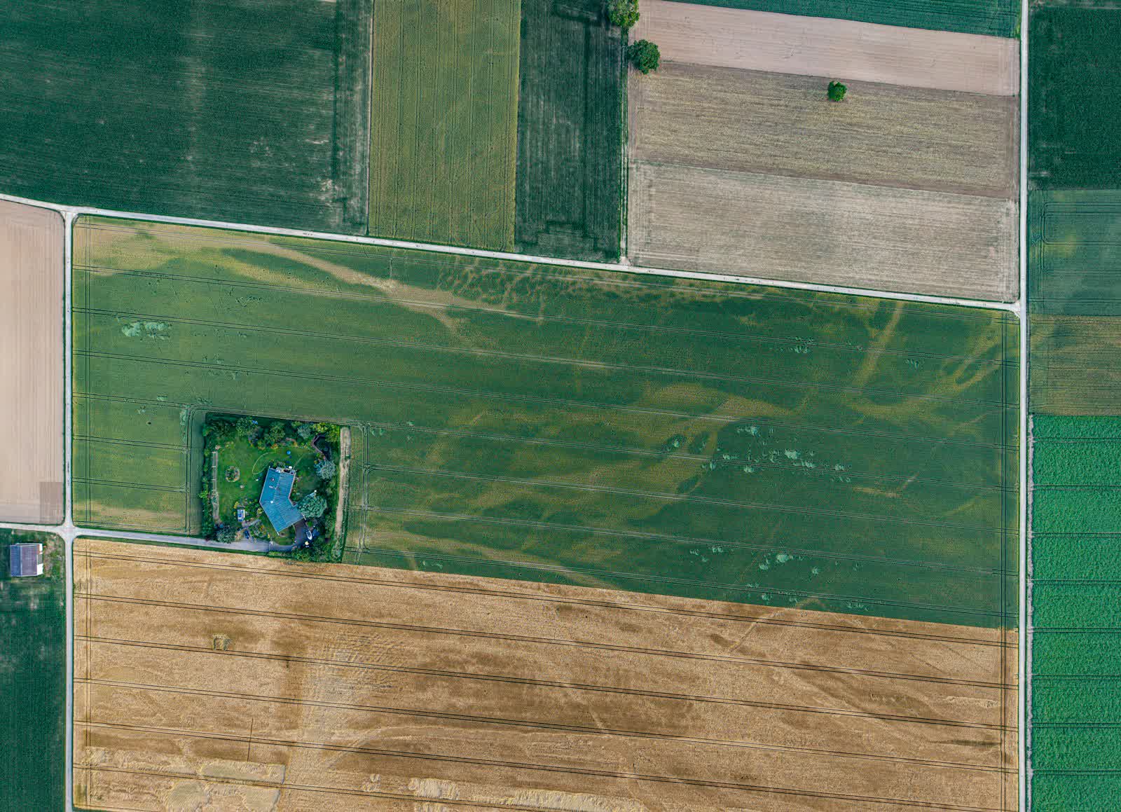
Drone photogrammetry turns a few hundred aerial photos into precision survey products: georeferenced orthophotography at 1–3 cm/pixel, digital surface and terrain models, 3D point clouds, contour lines, stockpile and earthworks volume calculations. With an RTK/PPK drone and ground control points measured by centimetre-grade GNSS, accuracy reaches 2 to 5 cm both horizontally and vertically — sufficient for most development studies, at a fraction of the cost of an exhaustive ground survey.
We cover from 1 to several hundred hectares per day depending on the required resolution, including hard-to-access sites: working quarries, landfills, riverbanks, industrial wasteland. Deliverables come in your coordinate system (Lambert 93 / RGF93, conic conformal projections) and standard formats (GeoTIFF, LAS/LAZ, DXF, GIS formats). Chartered surveyors, civil engineering offices, quarry operators and local authorities are regular clients.
Free quote — surveying & photogrammetry in Strasbourg
Rates
€800–3,000 per day — the range observed on the 2026 French market, including regulatory preparation, flight and delivery. The exact quote depends on the site, the deliverable and the airspace context in Strasbourg.
Common use cases
- Topographic survey of land ahead of a development or subdivision project
- Stockpile volume measurement in quarries or recycling platforms
- Centimetre-grade orthophoto of a municipality for its GIS
- Digital terrain model for hydraulic or flood-risk studies
- Erosion monitoring of riverbanks, dunes or coastal cliffs
- 3D modelling of a building or monument for a digital twin
The local context in Strasbourg
Strasbourg has one peculiarity: a prohibited area protects the European institutions district (Parliament, Council of Europe, Human Rights Court), on top of the Strasbourg-Entzheim CTR to the south-west. The immediate German border means flights must not spill into neighbouring airspace, and the UNESCO-listed Grande Île falls under the built-up-area scenario with prefecture notification.
The local economy offers fine missions: inspection of the river port and structures on the Rhine, thermography of demanding half-timbered old buildings, monitoring of the Archipel business district extensions, imagery for the Christmas market — France's oldest — and for the Alsatian wine route starting just outside town.
Applicable regulations
Survey flights mostly take place outside built-up areas, in open category A2 or A3 (photogrammetry drones weigh 900 g to 6 kg) flying automated grid patterns below the regulatory 120 m. Long corridors or populated sites fall under the specific category (STS-01/STS-02, or an operational authorisation for BVLOS on long corridors). The operator is registered on AlphaTango and checks regulated zones on Géoportail: quarries and industrial estates are often near airfields or under military low-altitude training routes (RTBA), requiring protocols or time slots. Legally binding georeferencing (enforceable boundary plans) remains the exclusive remit of chartered surveyors, with whom we work as subcontractors.
Frequently asked questions
What accuracy can a drone survey guarantee?
With an RTK drone and ground control points, we guarantee 2 to 5 cm XYZ accuracy, verified against independent checkpoints whose residuals are documented in the processing report.
Does a drone survey replace a chartered surveyor?
No for legally binding documents (boundary demarcation, land division): that is the chartered surveyor's legal monopoly. Yes for technical studies: our deliverables feed directly into civil works design, volume calculations and environmental studies.
Does vegetation interfere with photogrammetric surveys?
Yes: photogrammetry measures the visible surface, so the canopy rather than the ground beneath. For wooded areas, we offer drone LiDAR, which penetrates vegetation and reconstructs the bare terrain.
Can this service be flown anywhere in Strasbourg?
Almost: Zone interdite du quartier des institutions européennes; CTR de Strasbourg-Entzheim; Frontière allemande immédiate (espace aérien étranger). Depending on the exact location, the pilot picks the right framework (open or specific category) and files the required declarations — included in the quote.
Other drone services in Strasbourg
- Aerial photography in Strasbourg from €300
- Aerial video in Strasbourg from €500
- Real estate drone services in Strasbourg from €250
- Weddings & events in Strasbourg from €400
- Roof inspection in Strasbourg from €200
- Facade inspection in Strasbourg from €300
- Aerial thermal imaging in Strasbourg from €500
- Construction site monitoring in Strasbourg from €250
- Precision agriculture in Strasbourg from €8
- Security & surveillance in Strasbourg from €600
- Immersive FPV video in Strasbourg from €700
- High-access cleaning in Strasbourg from €500
- Drone pilot training in Strasbourg from €350
- All services in Strasbourg
Surveying & photogrammetry near Strasbourg
- Surveying & photogrammetry in Reims Grand Est
- Surveying & photogrammetry in Metz Grand Est
- Surveying & photogrammetry in Mulhouse Grand Est
- Surveying & photogrammetry in Nancy Grand Est
- Surveying & photogrammetry in Colmar Grand Est
- Surveying & photogrammetry in Troyes Grand Est
Surveying & photogrammetry: every city →